tecznotes
Michal Migurski's notebook, listening post, and soapbox. Subscribe to ![]() this blog.
Check out the rest of my site as well.
this blog.
Check out the rest of my site as well.
Mar 28, 2011 6:39am
safety maps is go
We made a new thing live a few days ago, it’s called Safety Maps.
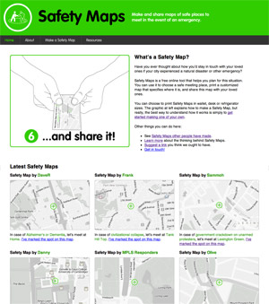
It’s a collaboration between myself, Tom Carden, and most significantly Adam Greenfield and Nurri Kim’s Do Projects imprint. Nurri has been exploring language and visual representation around disaster preparedness, and I was incredibly attracted to the need for gentleness in communication when creating something that should ideally never be used: “Have you ever thought about how you’d stay in touch with your loved ones if your city experienced a natural disaster or other emergency?”
The purpose of the service is generating emergency preparedness maps for family members and loved ones. “Make it, print it, cut it, fold it, save it, and share it.” You select a disaster scenario, name a meeting spot, and the service cooks up a set of PDFs meant to be printed and kept in a wallet or stuck on a fridge. Nurri created a soft-toned, muted energy look for the service, and we chose maps with minimally abrasive colors intended to act as a subtle and constant reminder of ever-present danger counterbalanced by ever-present love.
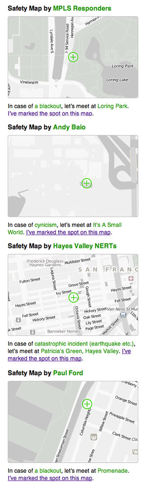
We’ve seen a pleasing stream of visitors to the site, and maybe surprisingly there are about four unlisted (private or hidden) maps created for every publicly shown one on the front page. In and amongst the predictable yuks and zombie jokes, we’ve had a number of serious and poignant submissions. Some of the public ones come from established neighborhood safety groups like NERT, others are from individuals—MPLS Responders, Andy Baio, Hayes Valley NERTs, Paul Ford (“So that we can admire the darkness of downtown NYC”) and others:
subscribe to ![]() this site.
|
contact Michal Migurski
this site.
|
contact Michal Migurski
Comments
Sorry, no new comments on old posts.