tecznotes
Michal Migurski's notebook, listening post, and soapbox. Subscribe to ![]() this blog.
Check out the rest of my site as well.
this blog.
Check out the rest of my site as well.
Dec 31, 2011 7:19am
solar stylesheet
A little more Mapnik work for the week: Aaron Huslage and Roger Weeks of Tethr asked about a map stylesheet for OSM data that could generate maximally-compressed tiles to fit onto a portable GIS / disaster response system they’re prototyping.
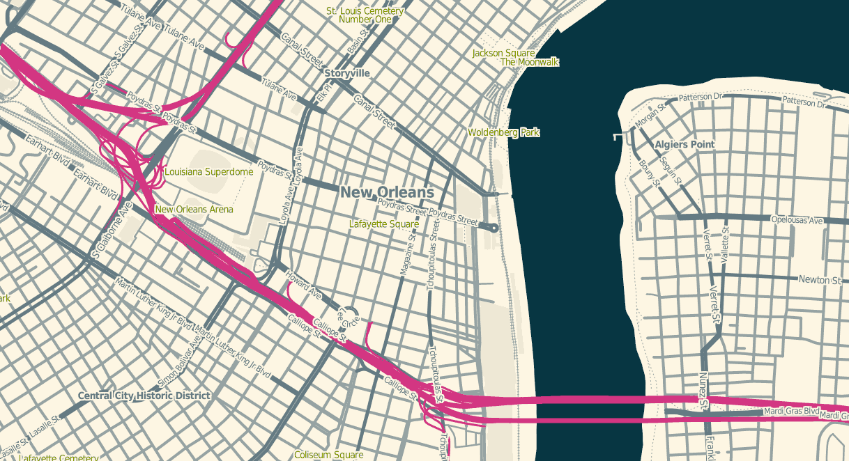
OSM Solar is a response to that requirement, and generates tiles that in many cases are 30%-40% the size of their OSM Mapnik counterparts. The job is mostly accomplished through drastic color reduction to a 4-bit (16 color) palette and aggressive pruning of details: parks are named but not filled, buildings are just barely visible for minimal context, color transitions and road casings are avoided.
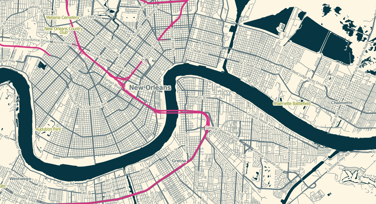
The colors are sampled from Ethan Schoonover’s Solarized, “Precision colors for machines and people.” They’re designed for editing text, but work well for maps too. I’ve plucked out a narrow range, made the freeways bright magenta, and otherwise left everything alone.
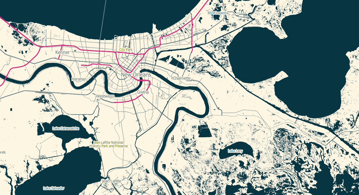
The stylesheets can be found on Github, and I’ve tried to minimize external dependencies to the absolute minimum PostGIS, Mapnik, and osm2pgsql setup imaginable. If you use this to render tiles, you’ll want to use TileStache because it understands what to do with the included 16-color palette file.

subscribe to ![]() this site.
|
contact Michal Migurski
this site.
|
contact Michal Migurski