tecznotes
Michal Migurski's notebook, listening post, and soapbox. Subscribe to ![]() this blog.
Check out the rest of my site as well.
this blog.
Check out the rest of my site as well.
Mar 1, 2008 7:13pm
slippy faumaxion, take two
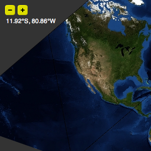
Two weeks ago, I posted the faumaxion slippy map, an interactive interpretation of Buckminster Fuller's Dymaxion World Map. I was curious to see whether the continuous re-orientation of the map would be jarring or confusing to users. Based on some helpful feedback, I've updated the map so that the dragging and rotation behaviors are separate. Instead of continuously re-orienting itself to face North for whatever point happens to be in the center of the map during a click-and-drag, a tiny compass rose shows which way the map will rotate itself once the mouse is released. This version feels calmer, and makes for a more predictable (and therefore better?) interaction:
subscribe to ![]() this site.
|
contact Michal Migurski
this site.
|
contact Michal Migurski