tecznotes
Michal Migurski's notebook, listening post, and soapbox. Subscribe to ![]() this blog.
Check out the rest of my site as well.
this blog.
Check out the rest of my site as well.
Jun 8, 2007 6:14am
london 2012
Answering Jeff's question about sports logos made me realize how much I like the new London 2012 identity. Seeing it made me recoil at first, but a few things have changed my mind about the identity.
The Saved By The Rave Olympic Remix totally nails the retro aesthetic the brand is tickling. The official brand video even makes some of the same covert references with its sinister electronic soundtrack: new rave is a "thing" and by 2012, we should be just about ready for a 20 year bounce of late 80's/early 90's pop cultural nostalgia. Speak Up calls out two other obvious references: Money For Nothing and MTV.
There's also some incredible stuff going on at the end of that brand video (fast-forward to ~1:50):
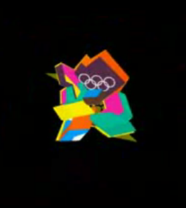
The logo defines a basic visual grammar that will survive reproduction in print, video, web, etc., and the use I'm seeing so far crackles with energy. In contrast to Jeff's two other contestants for worst sporting event logo (2006 World Cup and Tour de France), 2012 is the only one that has any sort of life in it. World Cup is flaccid and committee-drenched, while Tour is conservative.
London 2012 is absurd and wants to be shown around, so ridiculous that it spawns a wave of derision for maximum exposure.
subscribe to ![]() this site.
|
contact Michal Migurski
this site.
|
contact Michal Migurski