tecznotes
Michal Migurski's notebook, listening post, and soapbox. Subscribe to ![]() this blog.
Check out the rest of my site as well.
this blog.
Check out the rest of my site as well.
Apr 10, 2007 6:48am
global voices online relaunches
Boris got a fresh overhaul of GVO out the door this morning, and it looks fantastic. The entire site has been updated, with swooshy drop-down tab areas for the previously-weird tag clouds, and just a general sprucing and buffing throughout. The site aggregates an epic volume of content from blogs around the world, with special focus on bloggers from outside Western Europe, North America, and Australia.
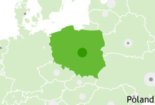
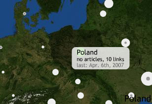
I helped in a small way, by implementing the contextual maps on the site's country and region pages. Boris saw the need for these things to provide some framing for local issues by showing their relationship to news from neighboring places. This was the project I worked on when I visited Tokyo last month. This project is one of a short list of early applications for Modest Maps, an ActionScript library I've been working on with Darren, Shawn, and Tom since January. We used satellite imagery courtesy of NASA's Blue Marble and country borders from the Mapping Hacks data collection.
The maps currently fit in the sidebar, but a week's worth of tonkatsu-fueled brainstorming had us thinking about a few other possibilities:
- Five minutes of playing with the Nintendo Wii's geographical news globe made it obvious that a full-screen version made sense.
- A little bit of geocoding applied to GVO's extensive backcatalogue could lead to stories linked to specific cities instead of just countries.
- It should be possible to drag, pan, and zoom these, but not in their current tiny sidebar home.
The maps have two states, roll over them on the GVO site to see both:
subscribe to ![]() this site.
|
contact Michal Migurski
this site.
|
contact Michal Migurski