tecznotes
Michal Migurski's notebook, listening post, and soapbox. Subscribe to ![]() this blog.
Check out the rest of my site as well.
this blog.
Check out the rest of my site as well.
Apr 9, 2018 4:00pm
Open Precinct Data
I’ve been writing at Medium.com for the past year. Read this full original post there.
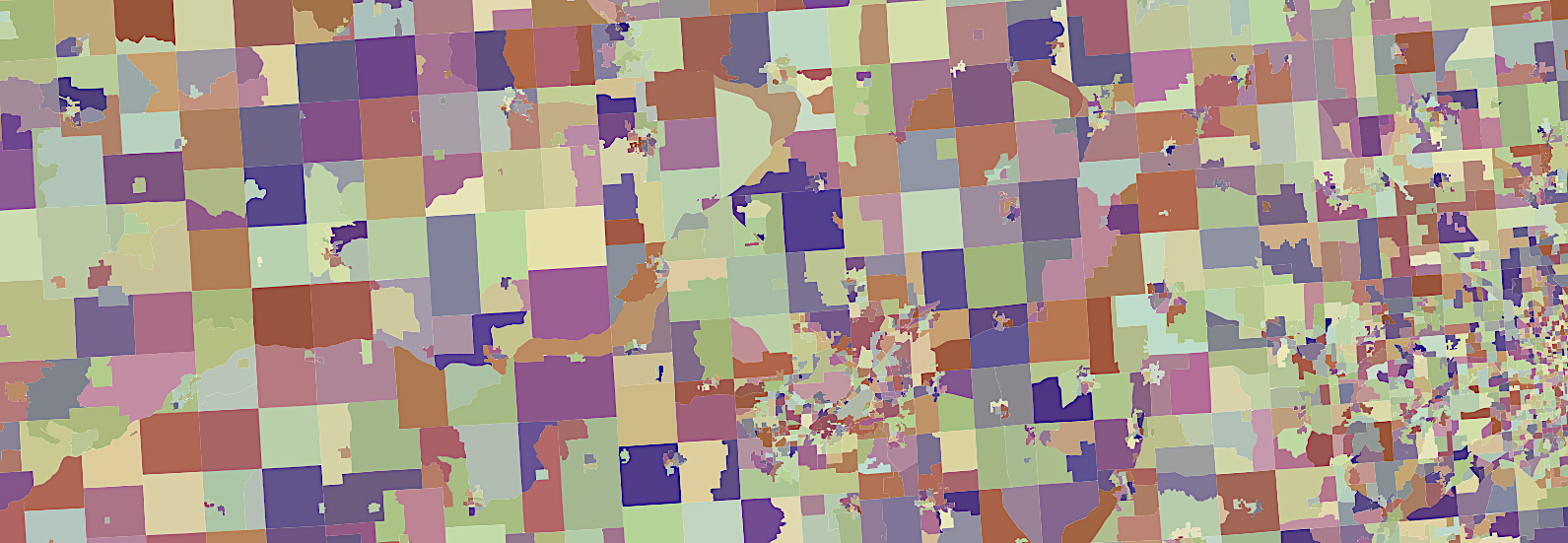
Several weeks ago, I spent an extended weekend at the fifth (of five) Geometry in Redistricting conference. Apart from speaking and participating in a panel on law, tech, and gerrymandering, organizer Moon Duchin asked for my help organizing the conference hackathon. One theme I heard repeated throughout the event centered on the difficulty of finding reliable precinct geography and election results.
There’s an opportunity here for a new data project focused on connecting existing academic and independent efforts with durable, unique, permanent identifiers for nationwide voting precincts. Imagine if you could easily correlate detailed voting results from OpenElections.net (OE) or state boards of elections with mapped polygons and census geography over time. We already know how effective a GEOID-based approach can be thanks to data published by the U.S. Census, but precincts are a special challenge without a current champion.
subscribe to ![]() this site.
|
contact Michal Migurski
this site.
|
contact Michal Migurski