tecznotes
Michal Migurski's notebook, listening post, and soapbox. Subscribe to ![]() this blog.
Check out the rest of my site as well.
this blog.
Check out the rest of my site as well.
Apr 25, 2012 10:25pm
polygonize it
If you need to make a bag of polygons from a selection of OpenStreetMap data, you would think that simply running shapely.ops.polygonize on the selection of linestrings is enough. In fact, polygonize needs for the line endings to coincide, and may not work as you would expect with OSM data. I scratched my head over this a bit after successfully using polygonize to handle TIGER data, until it occurred to me that TIGER is built to have lots and lot of little lines.
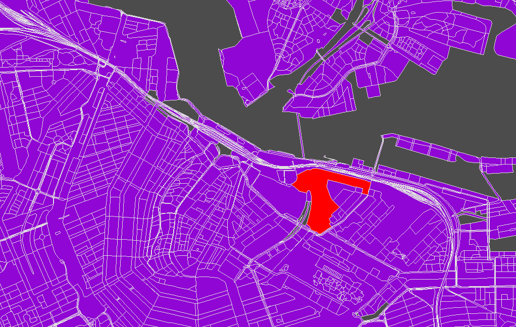
The trick is to split each linestring input to polygonize() into all its constituent segments, and then let the function do the reassembly work for you. Creating the polygons of Amsterdam above from metropolitan extract roads took just a few seconds. Here’s the polygonize.py script that does it, expecting GeoJSON input and producing GeoJSON output.
subscribe to ![]() this site.
|
contact Michal Migurski
this site.
|
contact Michal Migurski