tecznotes
Michal Migurski's notebook, listening post, and soapbox. Subscribe to ![]() this blog.
Check out the rest of my site as well.
this blog.
Check out the rest of my site as well.
Nov 11, 2007 7:54am
more like faumaxion
Earlier this week I posted a bungled attempt at implementing Buckminster Fuller's Dymaxion World Map. Owing to a rainy Saturday, that first pass at understanding the projection has matured into something a bit more stable and applicable.
I've been working from Robert Gray's C Implementation of the world map, but after getting it working I ended up discarding it. There are a few limitations with Fuller's projection math and Gray's implementation. I decided to stick with the icosahedron layout on the original map, but switched to the gnomonic projection, similar to Fuller's but blessed with an inverse:
... in computer applications where you "click" on a position on the flat map to get an (x,y) coordinate pair, and you have to convert this to the corresponding (longitude, latitude) coordinate pair, you would have to "loop through" Fuller's projection method several times to get an approximate answer whereas in the Gnomonic case, there is no looping, you have an exact "inverse" equation. -Robert Gray
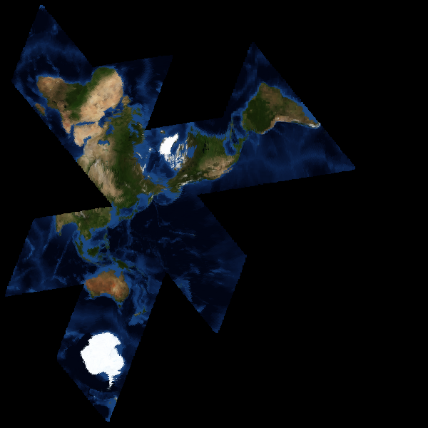
The gnomonic does pretty much exactly the right thing, in much less space. In effect, each triangular face of the main icosahedron becomes a little projection of its own, accurate at the center and a little less-so at the edges. The general idea is that maps can be arranged about any point on the earth's surface without computationally expensive image reprojection, and with a minimum of surface tearing near the center.
Gray's example code also has just one unfolding of the map hard-coded, making it difficult to create flexible arrangements of land masses for specific needs. It's more interesting to have a version that supports a variety of layouts, like these views centered on various parts of the Atlantic:

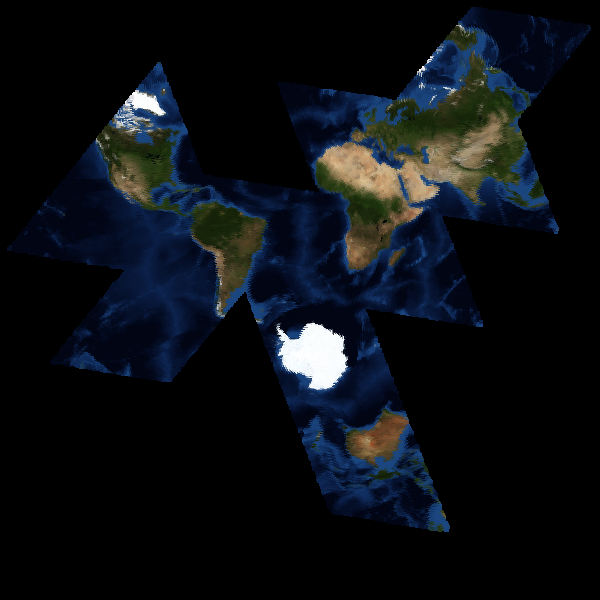
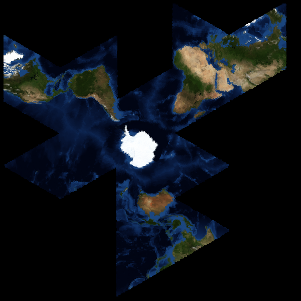
The surface coloration I use is from NASA's Blue Marble satellite image set, something I've written about before. I'm not yet sure how to go about making the faumaxion code public, but I imagine that it may find its way into Modest Maps some time in the future.
subscribe to ![]() this site.
|
contact Michal Migurski
this site.
|
contact Michal Migurski
Comments
Sorry, no new comments on old posts.