tecznotes
Michal Migurski's notebook, listening post, and soapbox. Subscribe to ![]() this blog.
Check out the rest of my site as well.
this blog.
Check out the rest of my site as well.
Dec 1, 2015 6:33pm
week 1,984: back to the map
After 2½ years as Code for America CTO, I’m moving on to the next thing. Starting December 14, I’ll be joining a crew of former Stamen colleagues & clients, CfA friends, OpenStreetMappers, and co-geobreakfasters at Mapzen, part of Samsung Accelerator. If Mapzen was a game show, it’d be This Is Your Life. I’ll be combining my background in open source mapping and my more recent experience working on CfA technology products to lead a team making writings, demos, tools, and entry points for Mapzen’s work on routing, search, transit, and the brainmelting beauty of Tangram. We’re actively hiring (especially front-end developers), so please get in touch.
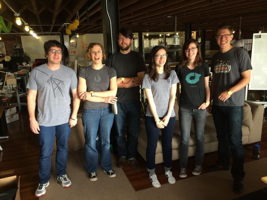
I will miss Code for America greatly, particularly the technology and product crew we built to deliver new communications and engagement approaches for digital government, the three years of fellowship classes we collaborated with, the whole staff of people making it work, and that one time my team dressed like me for April Fools.
This month is an especially hard time to go, with a major victory from Dan Hon on Child Welfare Services technology procurement—if you are a California design or dev shop, bid on this project to literally save children’s lives. It’s also an auspicious time to go, with a few key colleagues like Cyd Harrell and Frances Berriman heading out and a break between the 2015 and 2016 fellowship classes.
Onward.

subscribe to ![]() this site.
|
contact Michal Migurski
this site.
|
contact Michal Migurski
Comments
Sorry, no new comments on old posts.