©2005 Michal Migurski, Stamen Design
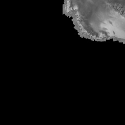
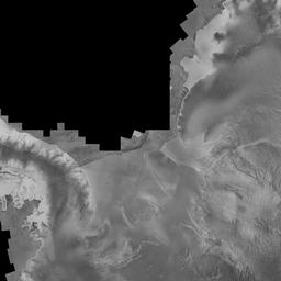
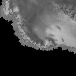
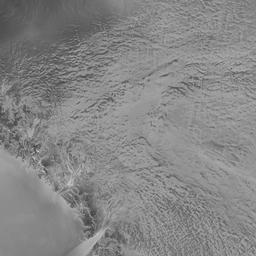
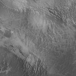
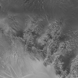
This is a draggable, zoomable satellite mosaic of Antarctica that Eric found. Please use an up-to-date version of Mozilla, Internet Explorer, Opera or Safari to view. Read more below.
The original image is 16,384 x 16,384 pixels, but the javascript on this page requests only the visible 256 x 256 pixel tiles needed to fill the smaller window. As the image is dragged, tiles are repositioned and images re-requested to maintain the illusion of smooth scrolling. In theory (hah!) the original image can be infinite in size. This is the same technique used by Google Maps to render the street and satellite maps, and by Zoomify to speed up image viewing.
The javascript source for this page is available at gsv.js, under a permissive open-source license. Use it! The name "GSV" is a contraction of this page's original joke title, "Giant-Ass Image Viewer." (It's also a nod to one of my favorite authors, Iain M. Banks)
The Python library, PowersOfTwo, (Python Imaging Library required) assists with cutting down large images into square tiles. See the example script, which is used on the command-line like this:
./subdiv.py [image]
...to generate a series of files like these:
                tile-0-0-0.jpg

                tile-1-0-0.jpg

                tile-1-0-1.jpg

                ...

                tile-2-1-1.jpg

                tile-2-1-1.jpg

                ...

                tile-3-3-3.jpg

                tile-3-4-4.jpg

                ...

                tile-4-7-7.jpg

                tile-4-7-8.jpg

                ...